Photorealistic solar park visualization
We provide photorealistic solar park visualizations as a service, created from the 3D data of your planned PV project.
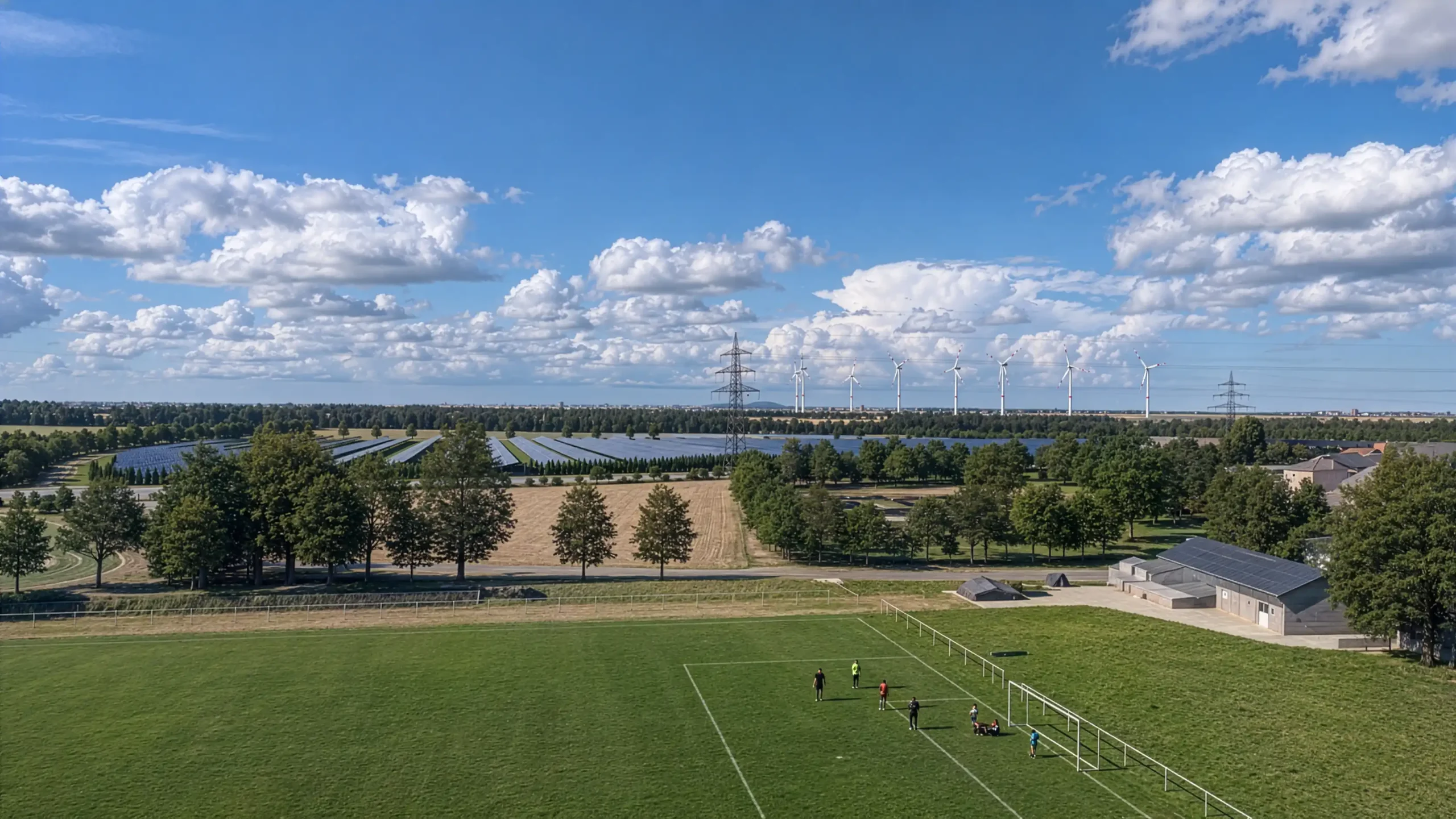
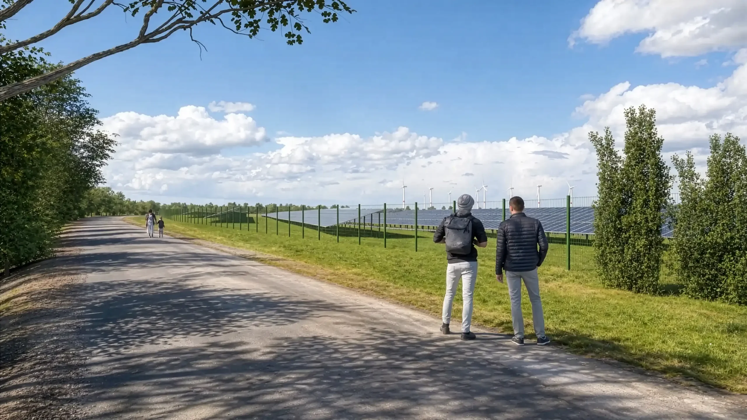
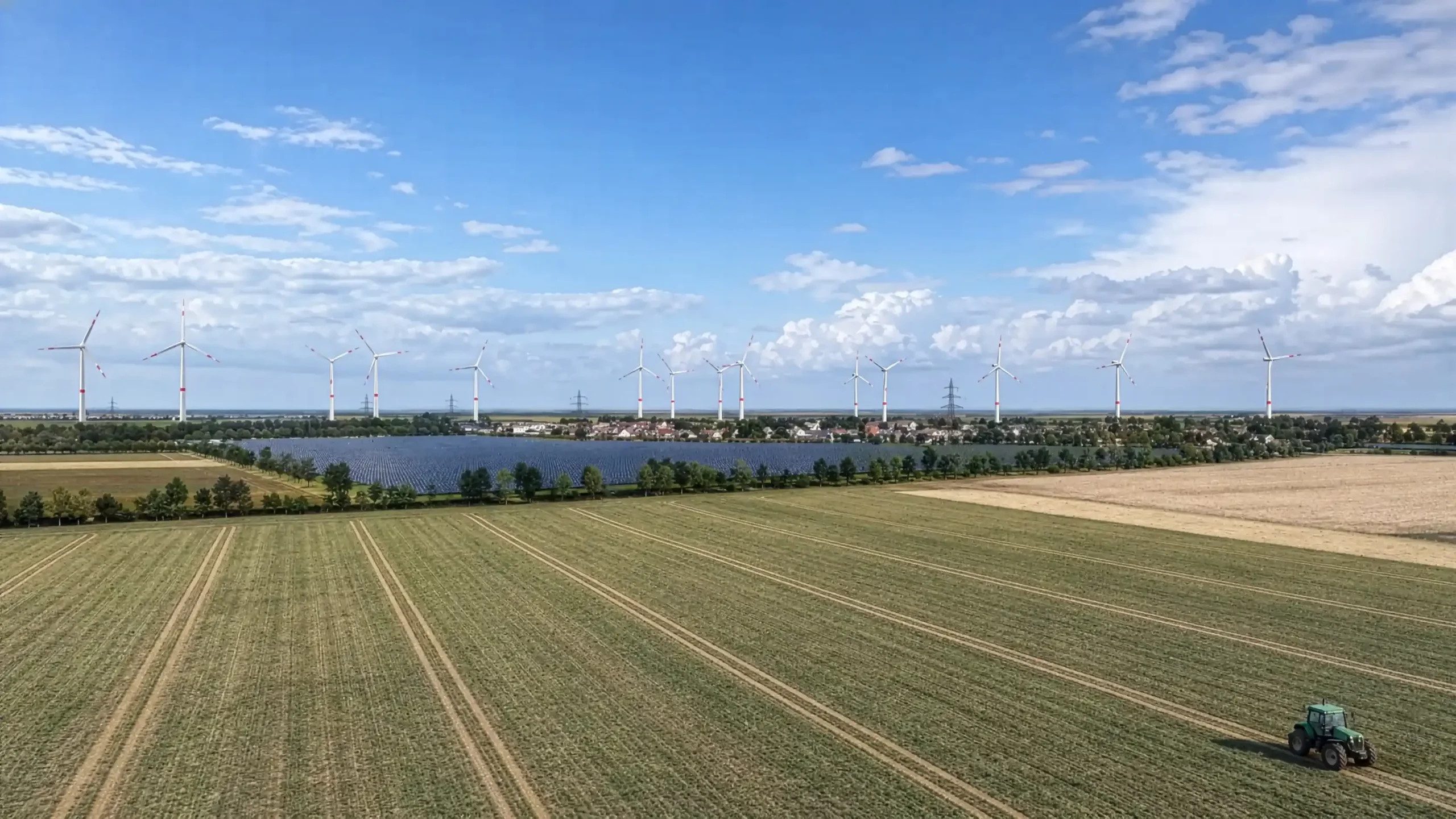
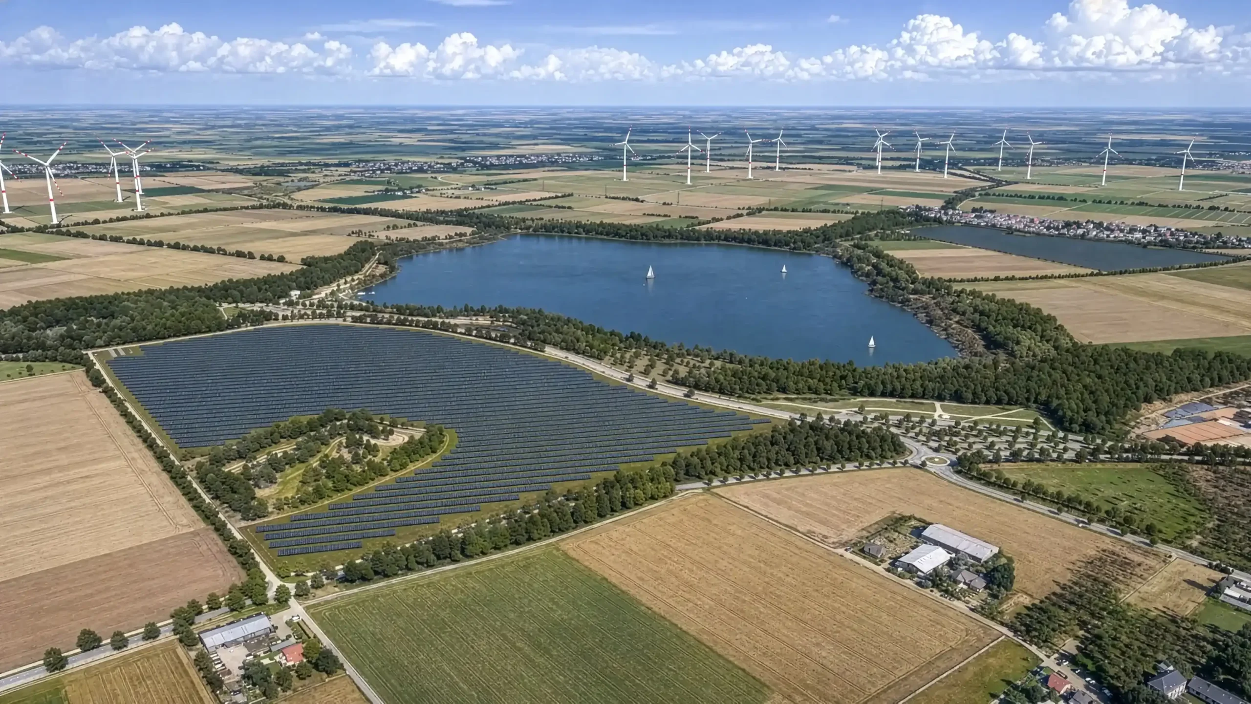
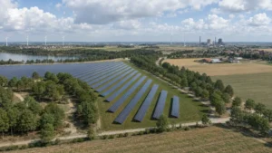
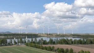
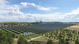
Photorealistic visualizations make planned ground-mounted PV systems easy to understand—whether for permitting processes, public consultation, investor presentations, or internal project coordination.
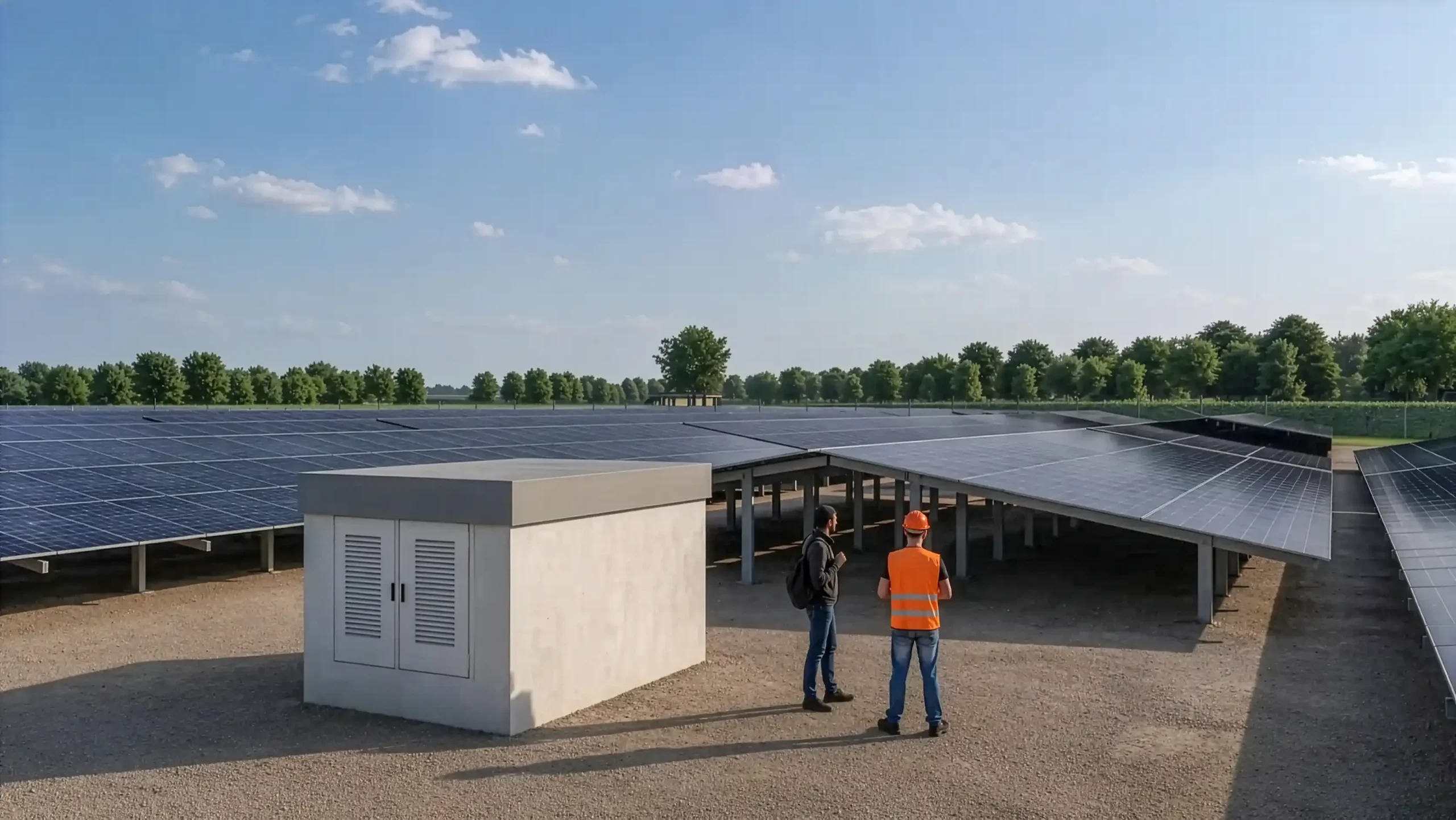
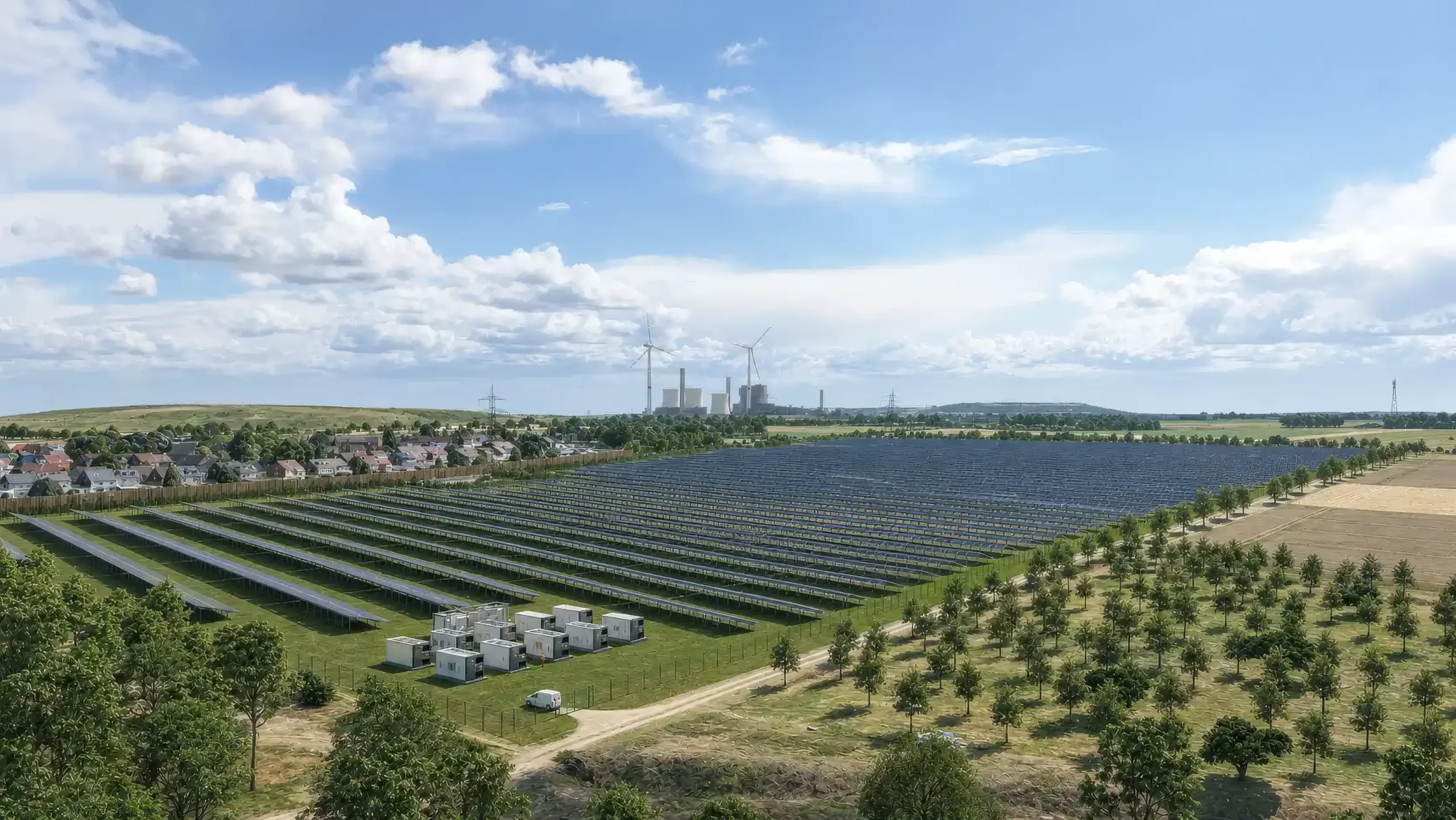
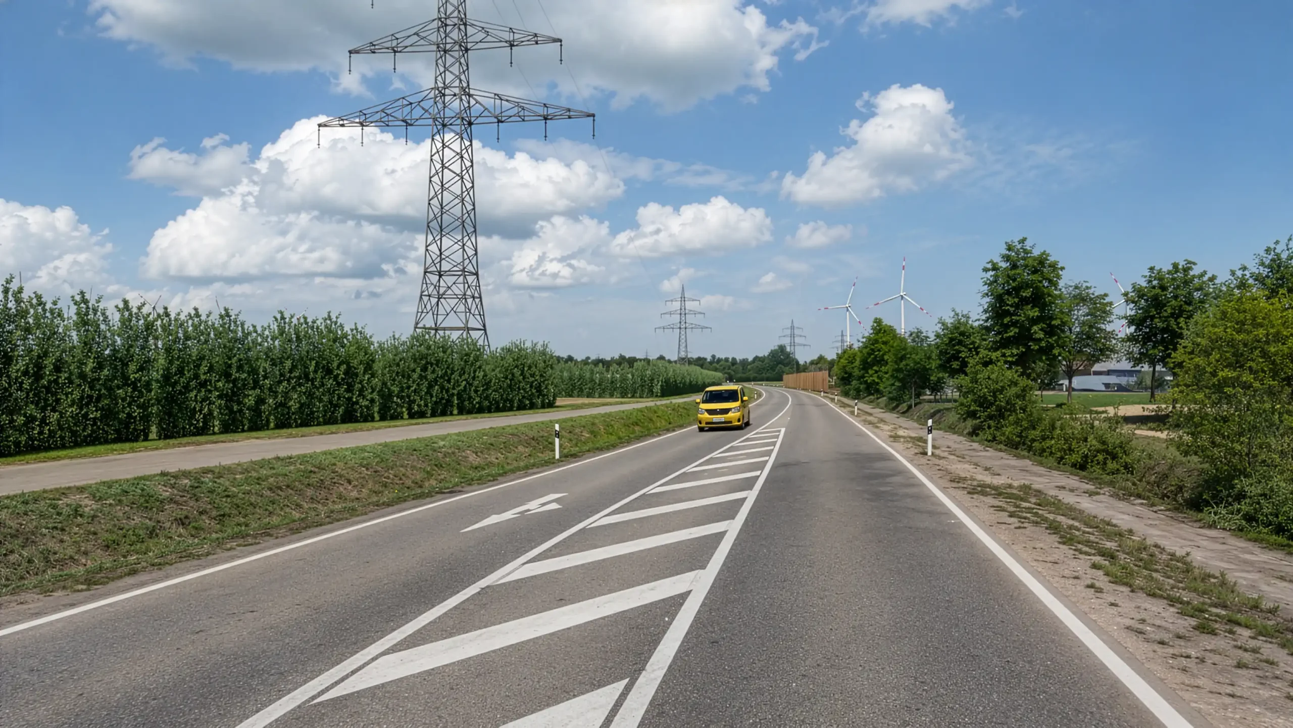
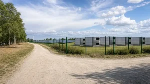
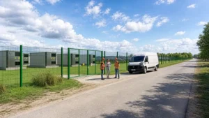
Using your HELIOS-3D project file, site plan, or existing planning data, we create realistic still images, animations, and comparative scenarios for your solar park. We can realistically render elements such as module mounting structures, fences, transformer stations, access paths, vegetation, and screening hedges.
This allows you to clearly demonstrate how your photovoltaic system integrates into the surrounding landscape—showing the site without the solar park, with the solar park, or with additional visual screening.
Just give us a call.: +49 (0) 2405 / 4137-0
or use our contact form
- support permitting procedures
- improve public acceptance
- explain visual screening measures
- compare design variants
- present projects to municipalities, landowners and investors
- photorealistic images from defined viewpoints
- before/after views with and without the solar park
- visualizations with screening hedges and vegetation
- fences, access roads, transformer stations and other site elements
- camera paths and animated videos
- shadow studies based on geolocation and sunlight simulation
- variant comparisons using layer switching
- Project developers
- Municipalities
- Planning firms
- Investors
- Energy cooperatives
- Send us your project data
- Define viewpoints and variants together
- We create the 3D model and environment
- You receive images or video
The digital terrain model is sourced from the relevant national geoportal with 1-meter accuracy. High-resolution orthophotos and optional additional objects enhance the realism of the visualization.
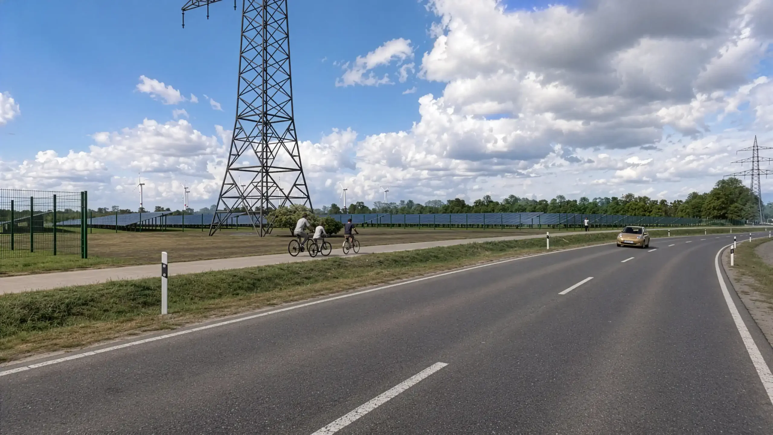
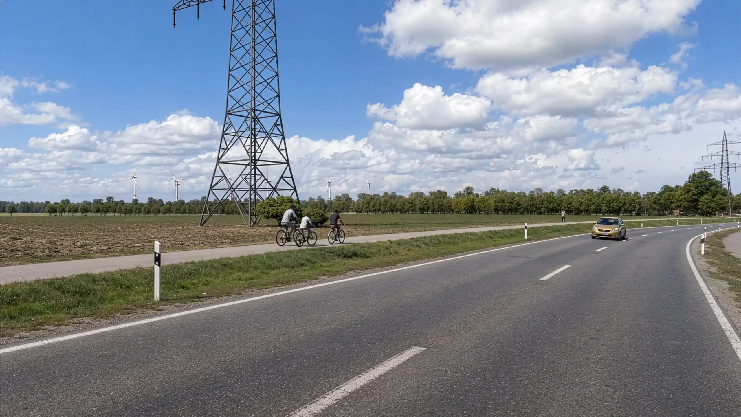
A common use case is illustrating hedge planting around the solar park. With transition effects, videos can show the site boundary both with and without planting. Accurate sunlight simulation based on geolocation also enables animated shadow studies.
Without solar park / with solar park / solar park with screening hedges
Several table layout variants can be visualized and compared. Fences, visual barriers, and vegetation are adapted to each scenario, while layer technology allows easy switching between different layouts.
Microsoft Teams screen sharing can be used at any time to review the project status and define important details, such as camera positions, directly in the software.

Each camera position is marked in the digital terrain model with a numbered red marker showing its location and viewing direction. Optional images can then show the exact view with and without visual barriers.
Solar Park Visualization: Image and Video Examples


Möhring Energy Group
The video shows current projects of the Möhring Energie Group.
https://www.moehring-energie.de
Solar park visualization Stöhr+Sauer Helios 3D Möhring Energie
https://www.youtube.com/watch?v=Ag_BLHf8rTk
Solar park visualization
Further examples
BKW - Alpine solar installations
Solar park at german highway
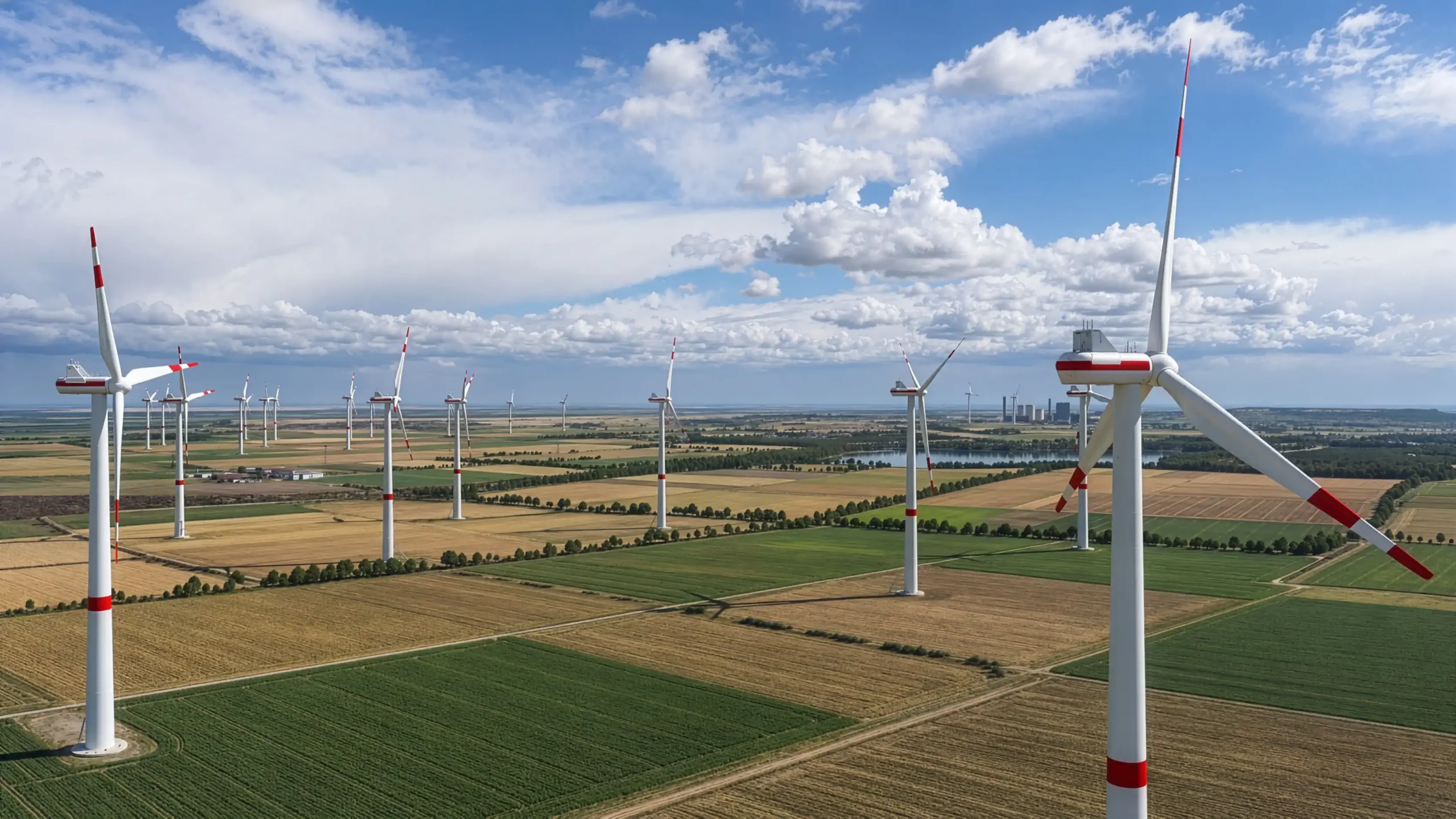
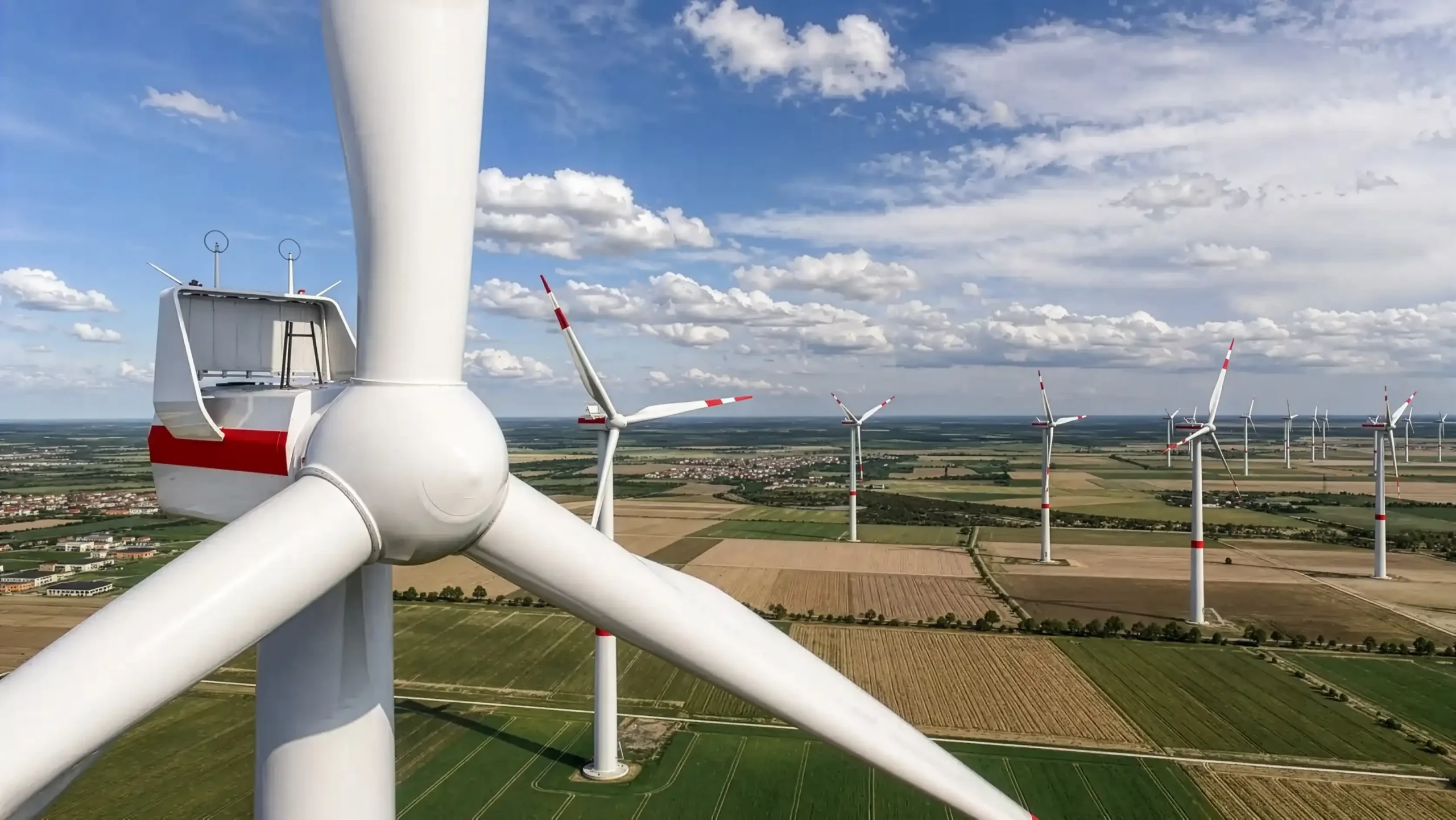
Visualization and Visual Inspection of Wind Turbines
We use the same technology for the visual inspection of wind turbines. Once the digital terrain, including surrounding buildings and wildlife, has been prepared, every conceivable camera position can be checked.